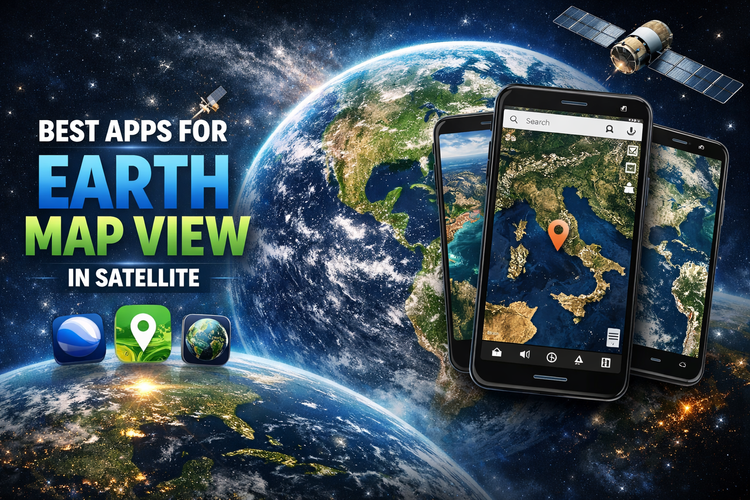
Best Apk For Earth Map View in Satellite
What Is a Satellite Map APK?
A satellite map APK is an Android application that allows users to view Earth using satellite imagery. Instead of simple drawn maps, these apps display real photos captured by satellites orbiting the planet.
Depending on the app, you can access:
• High-resolution satellite images
• 3D terrain and buildings
• Real-time weather layers
• Historical imagery
• Street-level views
• Offline maps
• Geographic data and analysis tools
These apps are used for travel planning, research, education, navigation, weather tracking, and even entertainment.
Why Use Satellite Map Apps?
Satellite viewing apps are useful for many reasons:
- Real-World Accuracy
You see real terrain, rivers, mountains, and cities instead of drawn map graphics.
- Global Coverage
Explore any place on Earth — even remote areas.
- Educational Value
Learn geography, geology, and environmental science visually.
- Travel Planning
Preview locations before visiting.
- Disaster & Weather Monitoring
Some apps show storms, fires, or environmental changes.
Features to Look for in the Best Satellite Map APK
Before choosing an app, check for these important features:
• High-resolution satellite imagery
• Smooth zoom and navigation
• 3D Earth visualization
• Offline viewing
• Frequent image updates
• Search functionality
• Layer controls (weather, terrain, etc.)
• Easy user interface
Now let’s explore the best satellite map apps available today.
Google Earth — The Most Popular Satellite Map App
Developed by Google LLC, Google Earth is the most widely used satellite viewing app in the world. It offers stunning high-resolution imagery and smooth navigation across the entire globe.
Key Features
• 3D globe exploration
• Street View navigation
• Historical imagery timeline
• Voyager guided tours
• Realistic terrain modeling
• Ocean and sky exploration
Why It’s Great
Google Earth combines powerful satellite imagery with an easy interface. You can fly across continents, zoom into cities, and even explore Mars or the Moon in some versions.
Best For
• Students
• Travelers
• Casual users
• Geographic exploration
Google Earth is often considered the #1 satellite map APK because of its balance of simplicity and powerful features.
NASA Worldview — Best for Real-Time Earth Data
Created by NASA, NASA Worldview focuses on scientific satellite data rather than just visual exploration.
Key Features
• Near real-time satellite imagery
• Climate and environmental layers
• Wildfire tracking
• Storm monitoring
• Air quality and pollution maps
Why It’s Unique
Unlike standard map apps, NASA Worldview shows real scientific data collected from Earth-observing satellites. You can track hurricanes, smoke plumes, and environmental changes daily.
Best For
• Researchers
• Students of environmental science
• Weather monitoring
• Climate tracking
If you want real satellite data instead of just visuals, this is one of the best APKs available.
ArcGIS Earth — Professional-Level Mapping
Built by Esri, ArcGIS Earth is designed for serious geographic work and professional mapping.
Key Features
• High-precision GIS data
• 3D terrain rendering
• Data layer importing
• Measurement tools
• Advanced geographic analysis
Why Professionals Use It
ArcGIS Earth allows users to work with geographic data in ways that standard apps cannot. Engineers, researchers, and planners often rely on it.
Best For
• Surveyors
• Engineers
• GIS professionals
• Advanced users
It’s more complex than other apps but extremely powerful.
HERE WeGo — Satellite Maps with Navigation
Developed by HERE Technologies, HERE WeGo combines satellite imagery with navigation tools.
Key Features
• Satellite and hybrid maps
• Turn-by-turn navigation
• Offline maps
• Public transport routes
• Traffic updates
Why It’s Useful
This app is perfect if you want both satellite viewing and real navigation features in one place.
Best For
• Drivers
• Travelers
• Offline navigation
It’s especially useful in areas with limited internet access.
Apple Maps — Smooth Satellite Experience for iOS Users
Created by Apple Inc., Apple Maps provides high-quality satellite imagery with a clean interface.
Key Features
• High-resolution satellite view
• 3D city flyover
• Navigation integration
• Smooth performance
Why People Like It
Apple Maps offers excellent visuals and smooth animations. While mainly for iOS, many users consider its satellite display among the best in terms of clarity.
Maps.me — Best for Offline Satellite Maps
Maps.me uses data from OpenStreetMap Foundation and is well known for offline map functionality.
Key Features
• Offline map downloads
• Lightweight app size
• Satellite layers
• Travel guides
Why It’s Helpful
Perfect for traveling without internet access. Download maps once and explore anywhere.
Comparing the Best Satellite Map APKs
App Best Feature Ideal Users
Google Earth 3D global exploration Everyone
NASA Worldview Real-time Earth data Researchers
ArcGIS Earth Professional mapping Experts
HERE WeGo Navigation + satellite Drivers
Apple Maps Smooth visuals iOS users
Maps.me Offline maps Travelers
Which Satellite Map APK Is Best Overall?
The answer depends on your needs.
• Best overall experience → Google Earth
• Best scientific data → NASA Worldview
• Best professional tools → ArcGIS Earth
• Best offline travel → Maps.me
• Best navigation + satellite → HERE WeGo
For most people, Google Earth remains the top choice due to its balance of power and simplicity.
Tips for Better Satellite Map Viewing
To get the best experience:
• Use a strong internet connection
• Enable 3D mode when available
• Download offline maps before traveling
• Use landscape mode for wider view
• Update apps regularly
Future of Satellite Map Technology
Satellite mapping is improving rapidly. New trends include:
• Higher resolution imagery
• Real-time updates
• AI-based terrain analysis
• Augmented reality mapping
• Live environmental monitoring
In the future, satellite apps may offer near live video of Earth from space.
Final Thoughts
Satellite map apps have made Earth exploration accessible to everyone. Whether you want to explore cities, monitor weather, study geography, or navigate offline, there is an APK designed for your needs.
If you want the most complete and user-friendly experience, Google Earth is still the best choice. But if you need scientific data or professional mapping, other apps may suit you better.
The best satellite map APK is the one that matches your purpose — exploration, research, navigation, or travel.